

Maps have traditionally been viewed as neutral tools for finding roads, cities and landmarks. But in 2026, the labels appearing on some of the world’s most popular digital maps have become part of a much larger political and cultural debate.
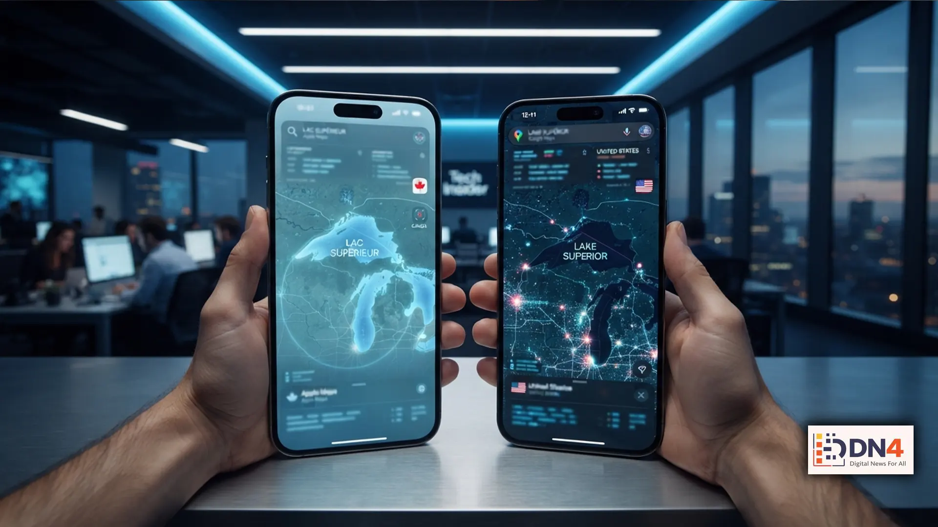
Apple Maps and Google Maps are now displaying “Lake America” for users in the United States, following the U.S. government’s decision to change the federal name of Lake Ontario. The move follows the earlier controversy surrounding the renaming of the Gulf of Mexico as the “Gulf of America.”
Why Is Lake Ontario Being Called Lake America?
The latest controversy began with a U.S. executive order directing a change in the federal geographic designation. The U.S. Department of the Interior subsequently worked to update the Geographic Names Information System (GNIS), the federal database used for official U.S. geographic nomenclature.
Google has previously explained that its Maps service follows geographic names contained in official government databases. Its handling of the Gulf of Mexico demonstrated this policy: U.S. users see “Gulf of America,” Mexican users see “Gulf of Mexico,” while users elsewhere can see both names.
Apple has now followed the same general direction with Lake Ontario. For U.S. users, the lake is displayed as “Lake America,” while Canadian users continue to see “Lake Ontario.” International users may see both names depending on the mapping service and region.
Maps Are No Longer Identical Everywhere
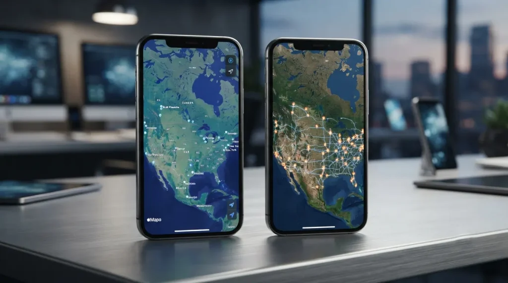
This is one of the most important aspects of the controversy. There isn’t necessarily one universal version of a digital map.
Google says the names displayed in Maps can depend on the user’s country location, which can be determined through information such as operating-system settings, SIM and network information. On the web, regional search settings can also influence what users see.
That means two people searching for exactly the same geographic feature from different countries can potentially see different labels while looking at the same physical location.
The Gulf of America Was the First Major Test
The current Lake America dispute follows a precedent established in 2025. President Donald Trump signed an executive order directing the U.S. government to use “Gulf of America” instead of “Gulf of Mexico.” The Department of the Interior subsequently said the new terminology would be reflected in federal geographic records.
Google implemented the change for U.S. users in February 2025. Mexico continued to use “Gulf of Mexico,” while users in other locations could see both names.
Apple also adopted “Gulf of America” in its Maps ecosystem, making the naming dispute visible to millions of smartphone users.
Does a Map Label Actually Change Geography?
No. Changing a label does not change the physical geography itself.
Lake Ontario remains the same body of water regardless of what a mapping application calls it. Its location, physical characteristics and international boundaries do not change because a software company updates a label.
This distinction is crucial because digital maps are representations of geography—not the geography itself. A mapping company’s decision determines what its users see, but it does not automatically establish an internationally accepted geographic name.

Why Apple and Google Are at the Center of the Debate
Apple and Google have enormous influence over how people experience geography. Their mapping platforms are used for navigation, travel, business searches, location sharing and everyday directions.
Consequently, changing a place name on a major mapping platform can make a political decision feel much more tangible. Instead of appearing only in government documents, the terminology suddenly appears on smartphones, search results and navigation screens.
That gives technology companies an unusual role: they become intermediaries between government geographic databases and the public’s everyday understanding of place.
Not Every Mapping Company Is Following Along
The response from other mapping services demonstrates that there is no universal requirement for every private platform to use identical terminology.
MapQuest, for example, has refused to adopt “Lake America,” maintaining traditional geographic names. Its decision has attracted considerable attention and reportedly contributed to a surge in downloads following the latest controversy.
The contrast highlights an important question: should private technology platforms automatically reproduce government terminology, or should they maintain their own geographic naming standards?
The Bigger Cartography Question
The Apple-Google mapping controversy is ultimately about more than two lake names. It demonstrates how technology can transform a government naming decision into a daily consumer experience.
As digital maps become increasingly important to how people understand the physical world, questions about who controls geographic names, whose terminology is considered authoritative and how regional differences should be represented will become increasingly significant.
For users, the practical lesson is simple: the name shown on your map may depend on your service and location. It also depends on which geographic database that service follows.
The map may look universal—but its labels increasingly reflect the politics and policies of the places where it is being viewed.
#AppleMaps #GoogleMaps #LakeAmerica #GulfOfAmerica #Technology #Google #Apple #DigitalMaps #USNews