

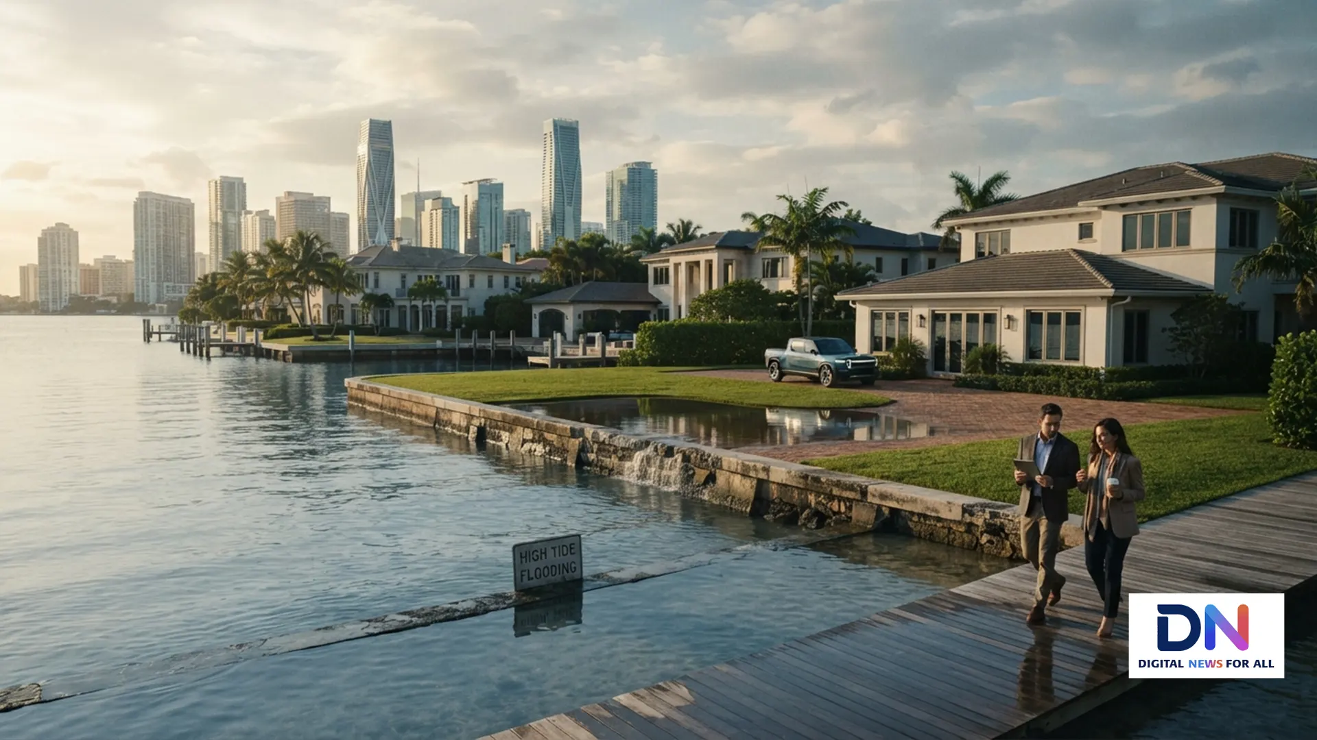
Sea level rise is becoming a financial issue for U.S. coastal real estate, not just an environmental concern. As world leaders gather for the 81st United Nations General Assembly, the growing risks facing low-lying communities are receiving renewed international attention.
The United Nations has warned that rising seas are increasingly affecting coastal cities, economies and infrastructure. A high-level UN meeting on the existential threats posed by sea-level rise is part of the broader international effort to address the problem. The issue is increasingly relevant to American homeowners and property markets.
U.S. Coastlines Are Already Changing
According to NOAA, average sea levels along U.S. coastlines could rise another 10 to 12 inches by 2050. The increase will not be identical everywhere, because local land movement, ocean conditions and geography affect regional projections.
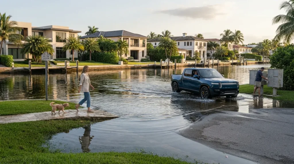
That extra water can make high-tide flooding more frequent. NOAA’s high-tide flooding program tracks where and how often coastal flooding may occur without a major storm.
Why Homeowners Should Pay Attention
Flooding can affect property values through several channels. Repeated water exposure can increase repair costs, while higher insurance expenses can raise the cost of owning a coastal property.
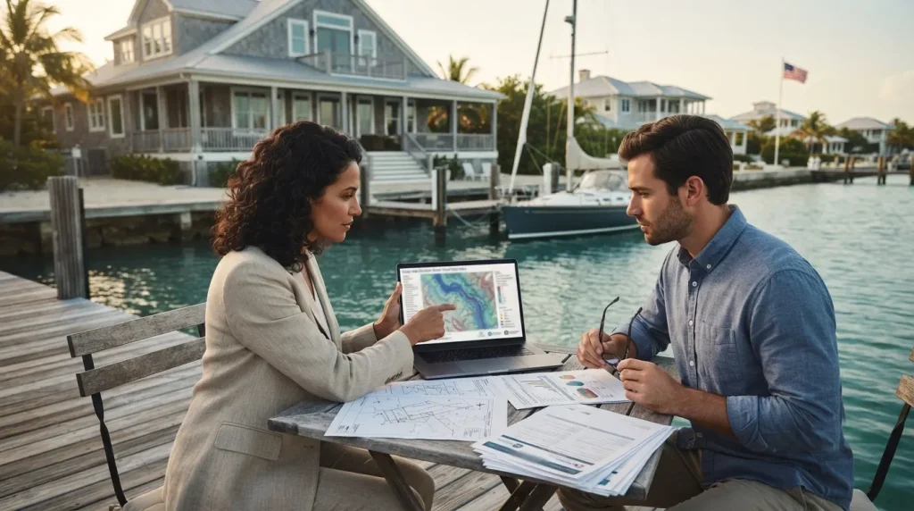
FEMA flood maps are one tool homeowners can use to understand whether a property lies within a mapped flood-risk area. However, flood maps do not capture every future climate-related risk.
Research from Freddie Mac has examined the relationship between sea-level rise and coastal home prices. The broader housing question is becoming more important as buyers, lenders and insurers assess long-term exposure.
Which U.S. Areas Face Greater Exposure?
Low-lying communities along the Atlantic and Gulf coasts are particularly exposed, while parts of the Pacific coastline also face rising sea levels and coastal flooding. Local conditions can vary dramatically even between neighboring communities.
NOAA’s Digital Coast provides coastal data and tools that communities can use for planning, risk assessment and resilience projects.
Insurance Could Become a Bigger Real-Estate Factor
Insurance is another potential pressure point. A property can remain physically valuable while becoming more expensive to insure. For buyers, that means the headline purchase price may tell only part of the long-term ownership story.
FloodSmart, the federal government’s flood-insurance resource, explains coverage options and flood-risk considerations for homeowners and renters.
Why UNGA 2026 Matters for U.S. Property
The UN discussion does not directly determine American home prices or insurance premiums. Its importance is that it highlights a risk increasingly being considered by governments, infrastructure planners and financial institutions.
The UN has described sea-level rise as an accelerating threat to coastal communities and economies. Meanwhile, U.S. agencies are developing increasingly detailed coastal-flooding projections and planning tools.
For homeowners and prospective buyers, the practical lesson is straightforward: coastal property analysis may increasingly require more than looking at today’s view, neighborhood and sale price. Flood exposure, insurance costs, elevation and long-term sea-level projections can also matter.
The U.S. Sea Level Change portal provides federal projections and mapping resources, while the United Nations provides international information on the growing sea-level challenge.
Rising seas do not mean every coastal property will suddenly lose value. But the risk is becoming harder for the real-estate market to ignore, particularly in places where flooding, insurance and infrastructure costs are already increasing.
#UNGA2026 #SeaLevelRise #CoastalRealEstate #ClimateChange #USRealEstate #FloodRisk #ClimateRisk #HousingMarket #CoastalCities